A subzero cold snap is set to return, possibly bringing widespread snow after Britain was battered by successive storms, the Met Office has said.
Storm Isha saw close to 100mph winds rampaging across the country this week, before being immediately replaced by Storm Jocelyn until Wednesday. They marked the ninth and tenth named storms since the start of the season - with the UK on track to break the record for the most in a year.
Speaking to the Mirror, Met Office senior spokesman Stephen Dixon said the "unusually mild" temperatures felt in recent days - expected to reach 14C this afternoon in the southeast - are set to be replaced next month thanks to the imminent arrival of Arctic air masses.
He said suggestions by some weather charts that widespread snow can be expected on February 5 and 6 are likely premature, with the change in weather fronts to see temperatures instead plummet in the middle and later stages of next month. Substantial snowfall is likely in the North, as a result.
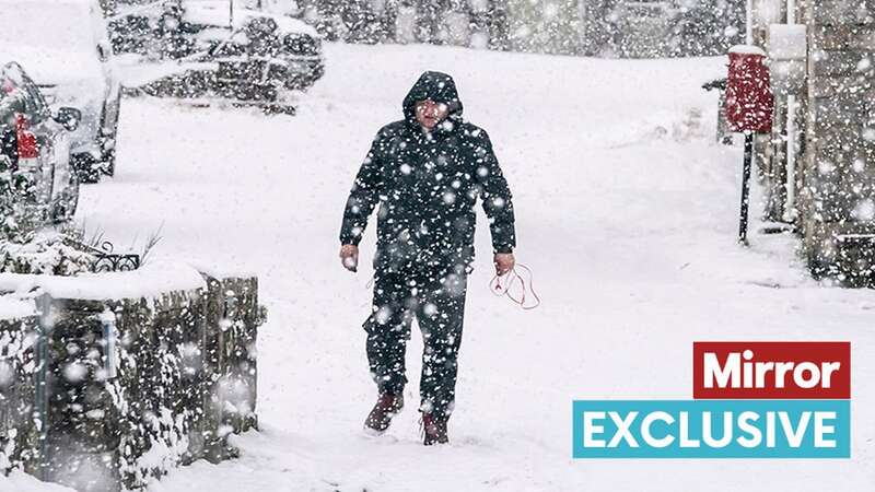
 Snow is set to strike during a cold spell in mid to late February (PA)
Mr Dixon said: "Signals point to the chance of a cold spell and snow in mid and late February in the North." Before that, he said Brits can continue to expect the "typical winter mix", with wind and rain, and changing temperatures. Torrential downpours could also see between 75 and 150mm of rainfall in parts of Scotland over the weekend, he added.
 Queen honoured in London New Year's fireworks before turning into King Charles
After days of weather warnings covering large swathes of the country, there are currently none in place. Mr Dixon said there aren't any currently on the horizon but the national weather agency continues to monitor any change in conditions. He said named storms are usually precluded by amber wind alerts - though none are expected in the coming days. However, the UK only needed to see two more before August to break the record since the practice began in 2016.
Friday is expected to see rain before the weekend brings further "wet and windy" weather for many, while snow could strike in isolated areas. Mr Dixon said: "It'll be a wet and windy mix - something often seen in the UK at this time of year. Snow is restricted to high ground."
He continued: "The UK is transitioning to some more typical winter weather over the coming days, though areas further north and west will see some periods of wet weather over the weekend. In contrast, weather further south will be largely dry through the weekend, turning milder on Sunday, with highs of around 13C possible in the southwest of England."
Daytime temperatures are likely to remain mild into next week, though overnight temperatures could continue to plummet with a "lowest low" of -5C tonight.
Read more similar news:
Comments:
comments powered by Disqus